Today, Montpelier's property boundaries encompass at least five plantations from the Madison era. This blog explores how we discovered this aspect of present-day Montpelier, why this occurred, and a little
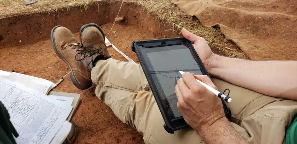
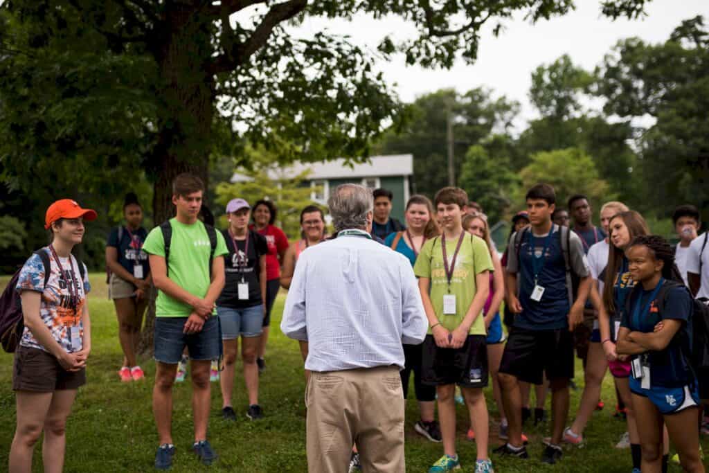
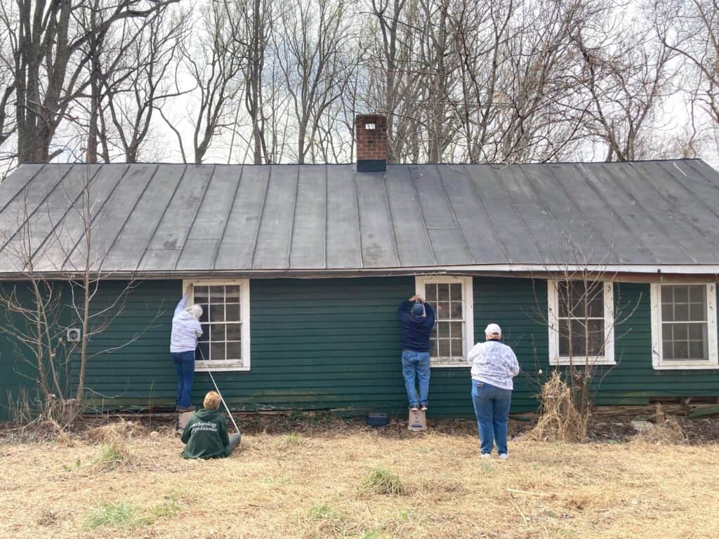
The Archaeology Team is starting to do survey at the Overseer's House...and beginning our paperless system! Read to learn how you can follow along from home!
James Madison received John as a gift from his father, along with John’s mother Sinar and his five siblings. John accompanied Madison to Philadelphia in 1787 and New York in
James Madison received John as a gift from his father, along with John’s mother Sinar and his five siblings. John accompanied Madison to Philadelphia in 1787 and New York in
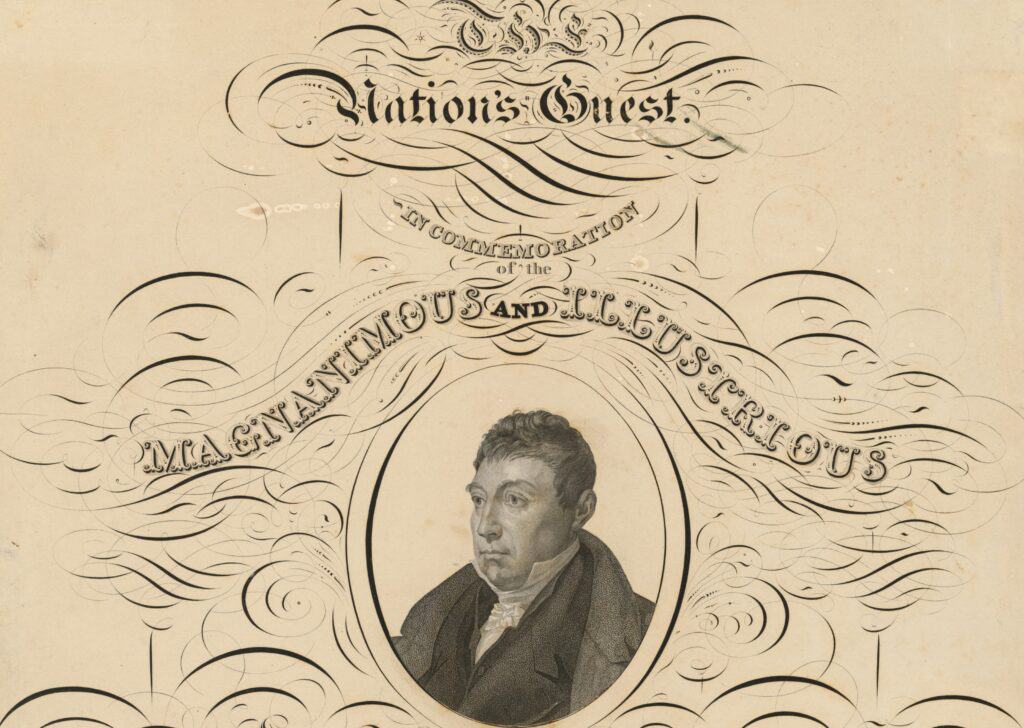
Journals, letters, and newspaper accounts help us trace Lafayette’s three stops at Montpelier in 1824-25, from ceremonial greetings to dinner table discussions to poignant farewells.
Questionably-drawn voting districts, flip-flops, getting out the vote, and - surprise! - cordiality between the candidates. It's election season, 1789.
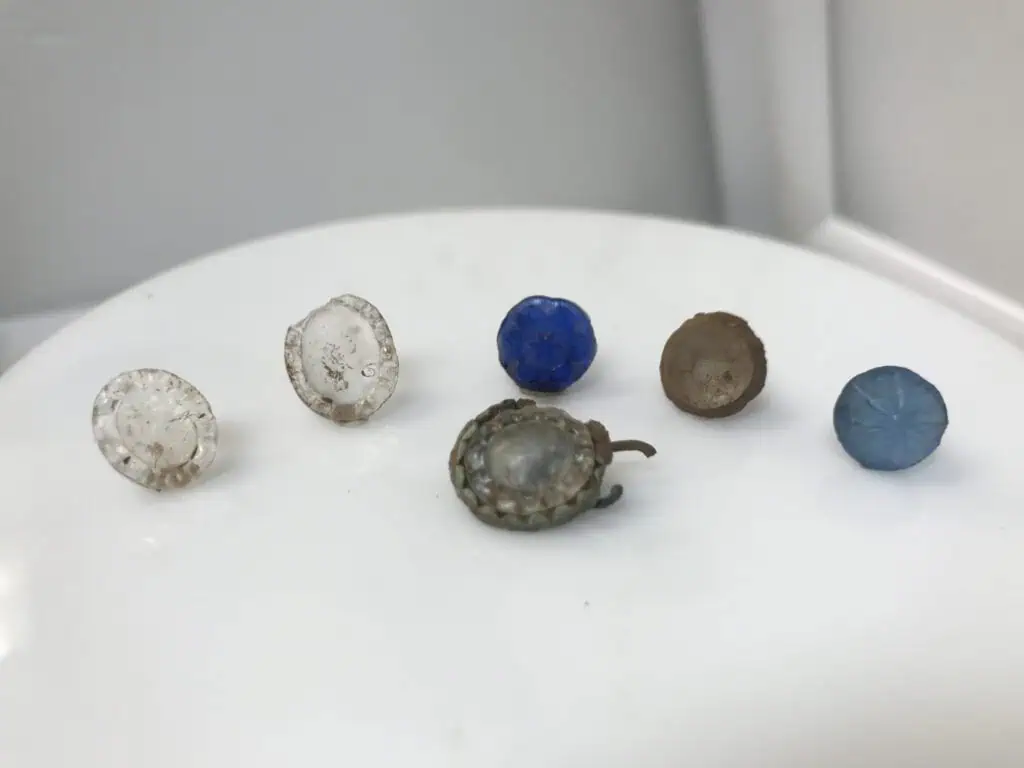
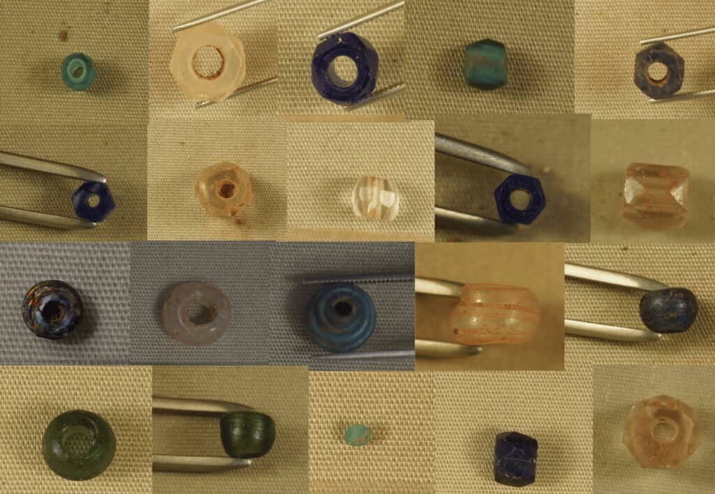
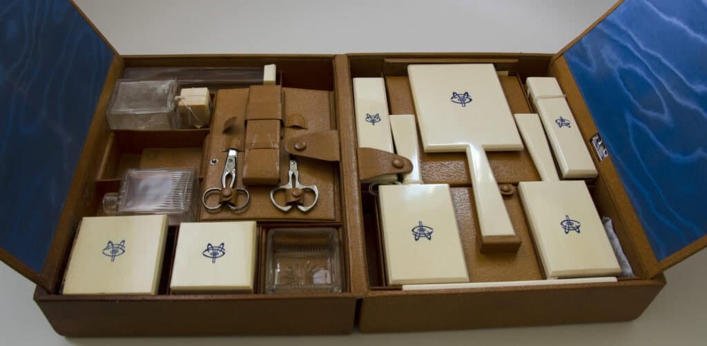
When looking at labels in your favorite museum, you might notice that the objects are referred to with specific sets of numbers. Sometimes a combination of numbers, letters, and years,
Discover how to evaluate wheelchair-friendly destinations, plan accessible travel, and explore Montpelier with verified mobility support and digital accessibility tools.
Discover senior-friendly tours and relaxing spots near Montpelier. Explore easy walking paths, guided tours, scenic drives, and peaceful experiences designed for comfort, accessibility, and lifelong learning.
Discover the best craft breweries within 45 minutes of James Madison’s Montpelier in Central Virginia: local beer, seasonal events, and historic charm.
Why did James Madison have a temple in his front yard? He didn’t come here to pray– it wasn’t that kind of temple. Maybe it reminded him of the ancient Roman temple where the “flame of Liberty” was kept burning. But what does “liberty” mean? Does it mean that you can do anything you want? Whenever you want? Of course not! Can you imagine a whole country of people doing whatever they want? Imagine how quickly things would get out of control!
Things were getting out of control after the colonies broke away from the King of England during the American Revolution. The new states didn’t have a good system to govern themselves. They needed a rulebook. They needed a constitution.
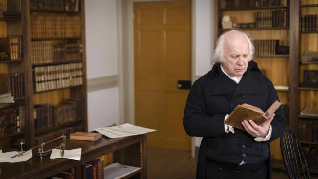
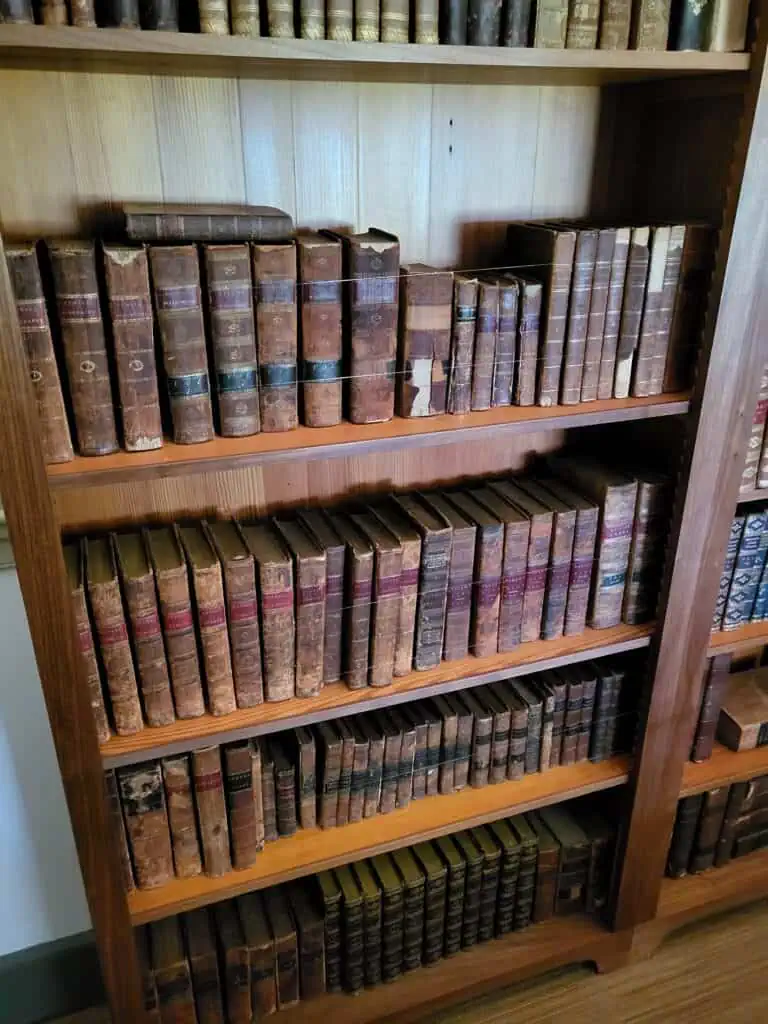
Enter James Madison. He read lots of books right here at Montpelier that gave him ideas about the rules that other countries played by, if they didn’t have a king. Madison went to Philadelphia and worked with people from many different states to write a Constitution. His ideas were so helpful that now he is known as the “Father of the Constitution.”
What does the Constitution say about who makes the rules? Instead of a king, it’s “We The People.” The Constitution gives citizens the FREEDOM to govern themselves, to choose their own leaders, and to make their own laws and rules. The Constitution also protects the people’s rights like freedom of speech, freedom of religion, and freedom of the press.
At first the Constitution didn’t allow everyone to participate in government, but over the past 240 years, Americans have made changes — things called Amendments– that let more people have rights, and vote, and run for office. Now “We the People” means just about “All the People!”
The United States Constitution is the modern world’s longest lasting Constitution, and many countries have used it as a model when they wrote their own Constitutions . And just think: it all began right here, on this plantation, Montpelier. That’s how Montpelier made its mark on the world!
Madison was the 4th President, but can you guess six other Presidents who came to Montpelier?
Madison’s best friends were Presidents 3 and 5. Maybe you’ll visit their homes, Monticello and Highland. Who were they? … Thomas Jefferson and James Monroe!
President Number 7 visited Montpelier in 1832. Someone in your family might have his picture right now – he’s on the $20 bill. Who was he? … Andrew Jackson!
Three other Presidents visited Montpelier after Madison’s lifetime. They might be harder to guess, but let’s give it a try.
President Number 19 came in 1878, and gave a speech in praise of Madison and the Constitution. In fact, his last name rhymes with “praise.” Any guesses?… Rutherford B. Hayes!
President Number 26 came to Montpelier on Thanksgiving Day 1907, when the duPonts lived here. A toy bear is named for him. Who was he? … Teddy Roosevelt!
And finally, President Number 41 came here in 1991 for the 200th anniversary of the Bill of Rights. His son was a President too. Can you guess? … George H. W. Bush!
That’s a lot of Presidents who made their mark on Montpelier. And today you’re here! Now you’re part of Montpelier’s story too.
Sometimes the people who lived at Montpelier chose to make their mark, but other times they were forced to make their mark. From the time President Madison’s grandparents came to Montpelier, it was a plantation––a huge farm–where enslaved people of African descent grew crops like tobacco, wheat, and corn and did many other jobs to make money for the Madison family. People who were enslaved had many skills and worked hard, but they didn’t get the benefit.
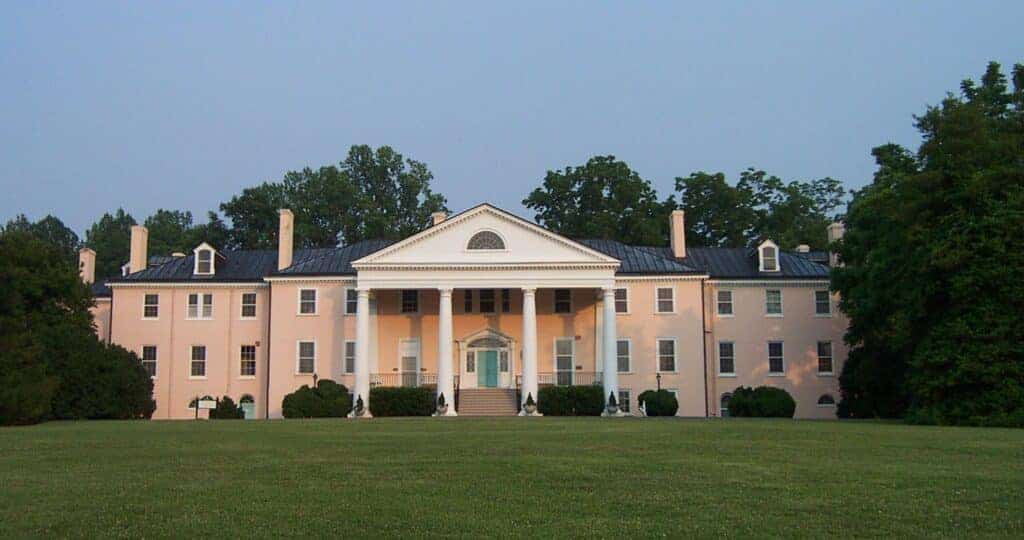
It was not only enslaved adults that labored for the Madisons, but enslaved children were also forced to do a lot of different tasks such as gathering firewood, helping in the kitchens, hauling water, cleaning stables, and… making bricks. Look at this huge house in front of you— each and every one of these bricks was made one at a time, by hand. On plantations, brick-making was often a task given to enslaved children. They pressed wet clay into rectangular-shaped molds. Then the bricks were left in the sun to “bake,” and once enough bricks were made they “fired” them to harden them. Have you ever pressed your fingers into wet clay? What happens when you do that? Your fingerprints make a mark. That’s exactly what happened here when enslaved people were making bricks to build this house. As you walk around the house, see if you can find any fingerprints in the bricks. These fingerprints remind us that nearly 300 enslaved people, of all ages, made their mark on Montpelier.
Since enslaved adults and children did most of the work at Montpelier, they didn’t have a lot of time for fun. What did they do when they did have a little time to themselves? Archaeologists found artifacts – marbles, doll parts, and toy wagon wheels – that tell us that enslaved children sometimes played with toys. Other artifacts, like musical instruments called jaw harps, tell us that enslaved people made music. Many of the activities that enslaved people probably enjoyed, like storytelling or dancing, didn’t leave artifacts in the ground.
The Madisons had much more time to themselves. Written records describe one of their favorite ways to have fun: parties.
Dolley Madison wrote about a barbecue picnic that she and James hosted on the 4th of July 1816. Ninety guests sat at tables set up on the lawn by enslaved people. Enslaved waiters served them roasted meats and punch, and most likely, fresh vegetables from the garden.
We don’t have a written account of what enslaved people had to do to get ready for that party, but historians found one written account that gives us a clue. In 1824, the famous General Lafayette visited Montpelier. A young enslaved maid named Ailsey Payne was there. Years later, she gave a newspaper reporter her eyewitness account. She saw so many horse drawn carriages she could hardly count them. Young enslaved men rode and led the horses. Enslaved people stored all kinds of food and meat in the icehouse. Ailsey Payne helped clean every inch of the House and shined all of the glass, silver, and china.
Ailsey Payne left her mark on Montpelier by telling her story! Will you tell someone about your visit?
Have you ever been asked to “sweep the floor?” Maybe it’s your chore to sweep up the crumbs that fall to the floor after dinner (if you don’t have a dog to do it for you). But have you ever been asked to “sweep the yard?” Archaeologists at Montpelier believe that enslaved people who lived here did just that! They used brooms to sweep away all of the grass and weeds. The ground would have been like a smooth, hard, clay floor.
Sweeping the yard cut down pests and unwanted creatures like ticks, mice, and snakes. It was a natural way of getting rid of pests that ruined food or caused disease.
The building in front of you was once a kitchen. Enslaved cooks labored here from long before sunup to long after sundown to prepare meals for the Madison family and their guests. They could build their hot cooking fires outside in the swept yard so that the work was more tolerable.
Except for the two smokehouses, the buildings here were homes for enslaved families who mostly worked inside the Madisons’ House. Their homes could be crowded, dark, and unbearably hot in summer. Having a smooth, swept yard allowed them to move many of their indoor activities outdoors. Imagine how busy this place would have been!
The ancestors of enslaved people at Montpelier had also swept their yards in Africa.They passed their wisdom along to their descendants. This is just one example of how enslaved people and their ancestors left their mark on Montpelier.
Do you have pets?
The Madisons had a pet parrot named Polly, but most of the animals at Montpelier weren’t pets – they were working animals. Horses pulled plows that made the ground ready for planting wheat or corn. Horses also pulled wagons, loaded with barrels of Montpelier tobaccos or wheat flour, to market in Fredericksburg and Richmond, and brought supplies back. Aleck was an enslaved wagoner who drove and cared for the horses. On one trip to Fredericksburg, Aleck had to borrow 50 cents to go to the blacksmith for new horseshoes so the horses could make the trip back.
Besides horses, there were cows and sheep and pigs at Montpelier. Some animals were raised for food. Sheep were also raised for their woolly coats. Enslaved women spun the wool into yarn or thread, and weavers like Reuben, Amy, and Harriet wove it into cloth.
James Madison wanted to improve the American breeds of cows and sheep. He bought some Merino sheep, because their wool was so good. A friend gave him some Devon calves as a gift, because they were a better breed of cows.
Animals made their mark at Montpelier – and so did the people who worked with them and took care of them!
How do we know what we know about the past? We can’t ask the people who used to live here— they’re long gone. We have to piece together clues from “primary sources”— letters, journals, diaries, paintings, and newspapers. History is kind of like a giant jigsaw puzzle— as we put the pieces together, a picture of the past emerges!
The very first people to live at Montpelier were Native Americans, or Indigenous people. They didn’t leave written records behind, but they did leave artifacts– objects that were made or shaped or used with their own hands. People who study artifacts are called archaeologists. Montpelier’s archaeologists have discovered artifacts that are about 2000 years old. That tells us that Indigenous people were here, thousands of years before the Madisons, or enslaved people, ever set foot on this land.
The Manahoac tribe were the native people living on this land just before the Madisons arrived here. Artifacts show us that the Manahoac made their mark by making their homes here for periods of time. The artifacts found near President Madison’s house, and near his grandparent’s house at Mount Pleasant–objects such as ceramics, stone tools, and projectile points— show us that the Manahoac thought these were good places to live too.
Did you know that there are descendants of Manahoac people living and making their mark in Virginia today? They are now part of the Monocan tribe, one of the 7 Federally recognized tribes in Virginia.
Some of the people that left their mark on Montpelier are buried here in the Madison family Cemetery. Can you guess which of these gravestones marks the final resting place of James Madison? It’s the tallest monument, and it’s called an obelisk. Today it’s easy to spot Madison’s grave, but if you visited Montpelier in the first 20 years after his death, you wouldn’t know where he was buried unless you were a member of his family. James Madison passed away on June 28, 1836, and two days later, he was buried here, in an unmarked grave.
Why would a president of the United States be buried in an unmarked grave? Today we usually place a marker at the head of a grave, but in the 1700s and 1800s people didn’t always do that, especially in a family cemetery where everyone knew where their family members were buried. If you count the gravestones you’ll find that there are about 30, but we know there are about 100 Madison family members buried here.
It wasn’t until 20 years later that people, outside of the Madison family, decided to place the large gravestone to honor the “Father of the Constitution.” Now, ready for a creepy story? Before placing the gravestone, a deep foundation had to be dug to a depth below James Madison’s coffin. “The boards placed above the coffin had decayed…and the coffin lid was slightly out of place…” so the men digging the foundation opened the coffin lid and “looked in upon the remains…” of James Madison!
Some people made their mark at Montpelier by leaving it.
Anthony was just 17 years old when he decided to make his escape from Montpelier. He had been enslaved here all his life, working in the Madisons’ house, and he was ready to take a big risk for freedom. James Madison’s father placed an ad in the newspaper to say that Anthony had escaped. The ad said that Anthony had light hair and gray eyes, and it described his coats, pants, striped overalls, hat, and buckled shoes. The ad offered a reward for capturing Anthony.
Anthony didn’t want to be caught, so he told people his name was Robert Jones. But one year after he escaped, Anthony was found, about 70 miles from Montpelier. He told the men who captured him that he had traveled to port cities in Virginia, to Philadelphia, and even the West Indies.
But the very next day, Anthony escaped again. He managed to get papers that said he was a free man named Billy Willis. There was a rumor that he was heading to Philadelphia. The Madisons never heard from him again. What happened next is a mystery. But Anthony left his mark by taking a big risk for freedom.
The duPont Family bought Montpelier in 1901 and made many changes to the House and the property. Did you see the racetrack on your way in today? You might even have seen some horses!
Marion duPont Scott loved horses and horse racing. She helped make Montpelier one of the most important horse training centers in America. When three of her favorite horses passed away, she had them buried here and put up these markers to remember them.
Perhaps her favorite horse was Battleship. He was so small that people called him the “American Pony,” but Marion DuPont Scott knew that he had big talent. She sent him across the ocean to race in the British “Grand National,” an important steeplechase race that is still run today. The race is over 4 miles long, and the horses have to jump 30 fences! Many people thought that a small horse like Battleship couldn’t possibly win, but in 1938 he surprised them all! To this day, he is still the smallest horse ever to win the British Grand National. You might say that Battleship left his hoofprints on the history of horse racing!
Marion duPont Scott left another mark on Montpelier. She wanted to share Montpelier and its story with everyone. Thanks to her, you can visit Montpelier today!
Lots of people made their mark on Montpelier. But there are two people you might already know: James and Dolley Madison!
How did James Madison make his mark? He was a Virginia lawmaker, a US Congressman, the Secretary of State, and our 4th President! (Not all at the same time.)
But most importantly, Madison was “Father of the Constitution” and “Architect of the Bill of Rights.” He didn’t write those documents all by himself, but he shared lots of good ideas that still help us govern our country. Madison got his ideas from reading books right here at Montpelier, and he made notes to take to the Constitutional Convention.
Madison could spend so much time in public service because his family had money from owning this plantation. The Madisons enslaved people who grew crops and tended animals. The enslaved people didn’t have much choice about being here, but their hard work made Madison’s career possible. The enslaved people made their mark as the “invisible Founders” of our country.
Dolley Madison made her mark too. James was shy and quiet, but Dolley liked to bring people together for dinners and parties, especially in Washington, DC. That made it easier for James to connect with other people in government.
As you explore Montpelier, see what else you’ll find out about people making their mark!